
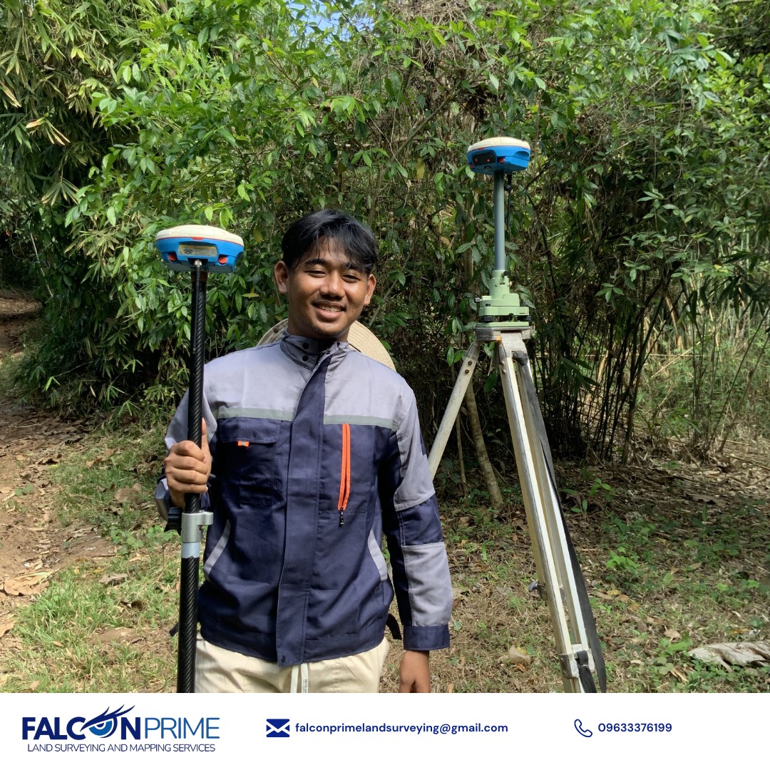
Professional Land Surveying Services in Palawan
Accurate, reliable, and efficient land surveying solutions — from subdivision and relocation surveys to topographic mapping.
Accurate, reliable, and efficient land surveying solutions — from subdivision and relocation surveys to topographic mapping.
Professional land surveying solutions tailored for Palawan — accurate, DENR-compliant, and client-focused.
Re-establishes the original boundary corners of a parcel of land using existing technical descriptions and survey records.
DENR Accredited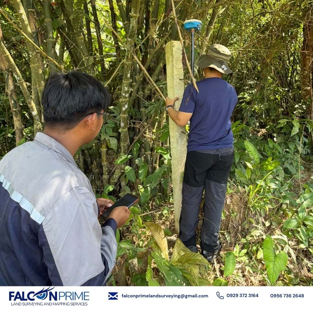
Divides a single parcel of land into two or more individual lots with proper documentation and DENR approval.
DENR Accredited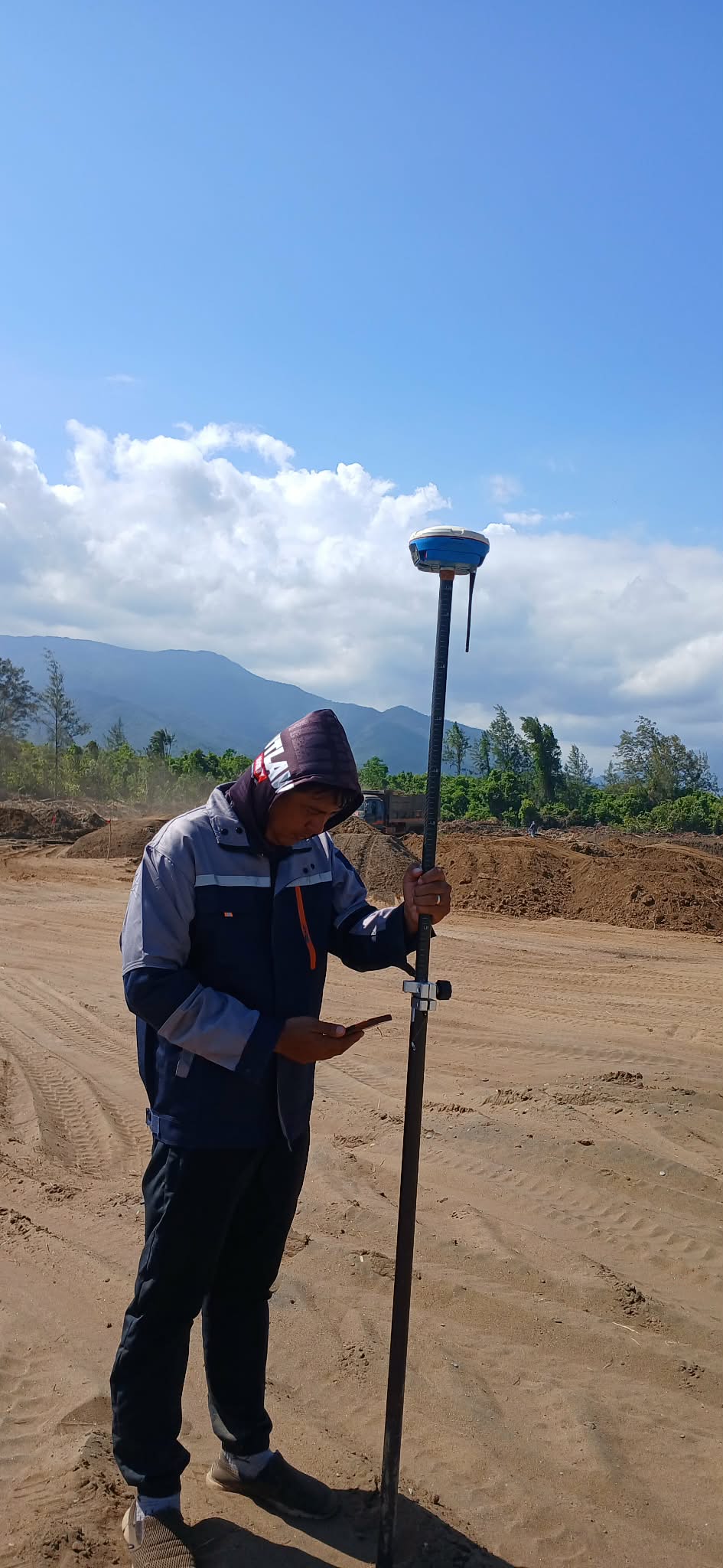
Maps the terrain, elevation contours, and natural or man-made features of a property for planning and engineering purposes.
Mapping & Elevation
First-time survey of public or untitled land to determine its exact location, area, and boundaries for patent or titling purposes.
Public Land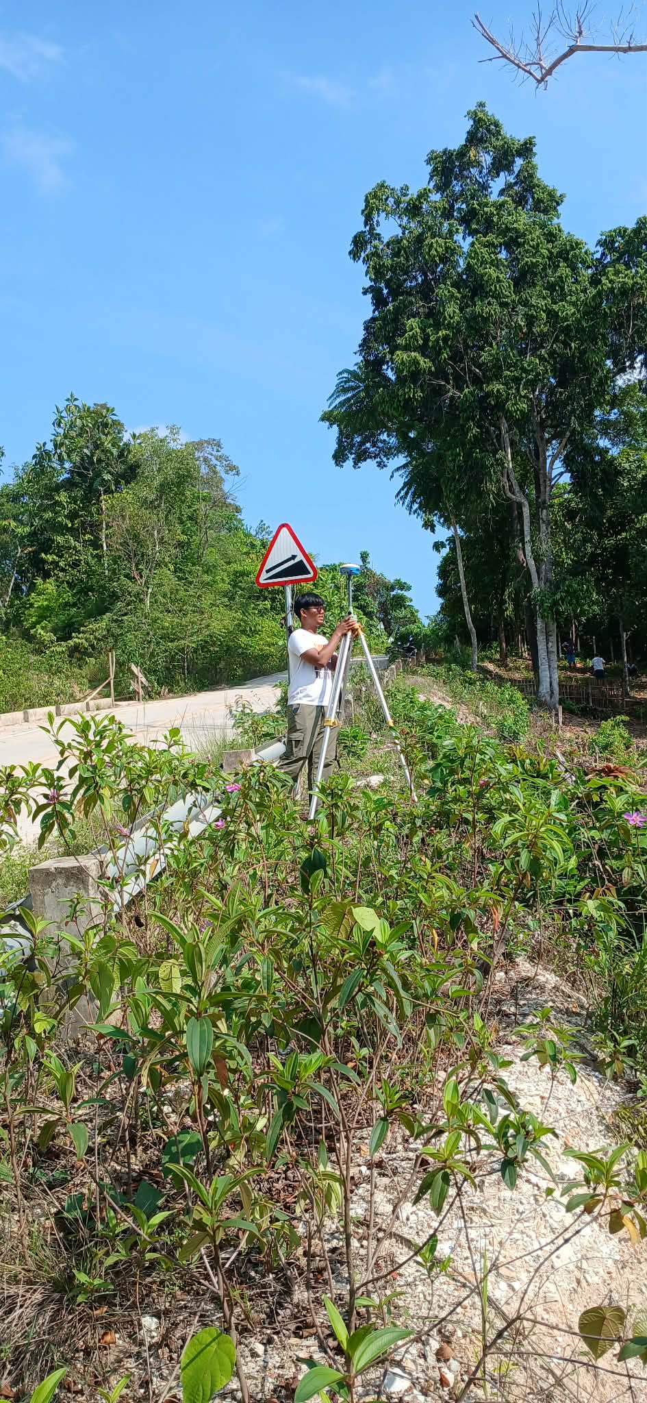
Verifies the technical description and boundary integrity of a previously surveyed parcel to confirm its accuracy and consistency.
Boundary Check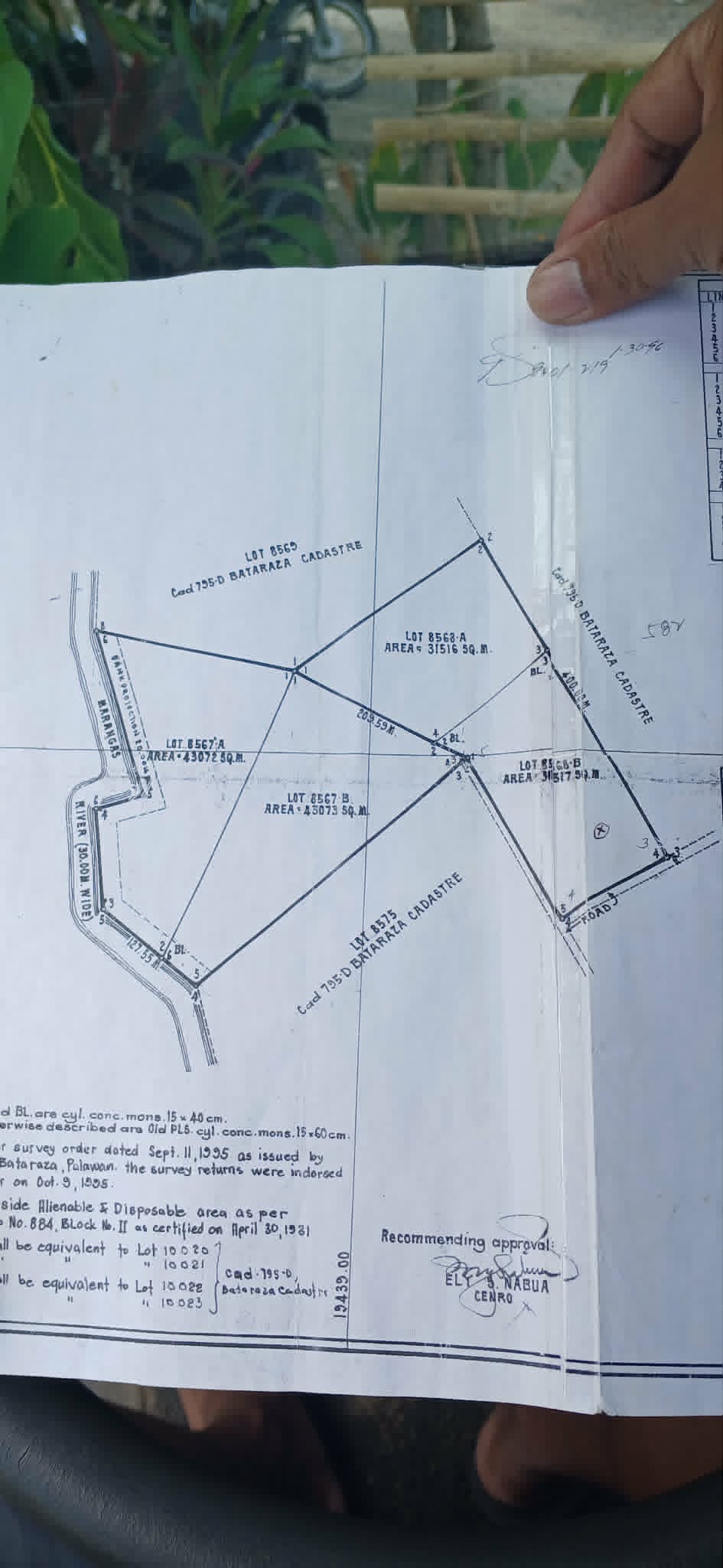
Full assistance through the land titling process — from survey to DENR approval, Registry of Deeds filing, and title release.
End-to-End SupportEverything you need to know about our land surveying services.
Loading…
Fill in your project details and our team will prepare a detailed cost estimate for your land survey.